
CORPUS CHRISTI, Texas — Happy Monday!
WHAT YOU NEED TO KNOW
- Heatwave continues
- Isolated t-showers again Tuesday
- No significant rainfall expected
This afternoon's storms may not have brought as much rain as we would have liked, but they were a welcome sight! Many neighbors experienced a nice col-down from the outflow boundary ahead of these storms. Even with temps dropping several degrees, Corpus Christi International Airport still reached 100ºF for it's high temp. Hot temps will remain in the forecast as our heatwave continues. Heat alerts will be possible all this week. Prolonged heat can be dangerous, even if heat alerts are not issued. Please check on kids, pets, and the elderly. Stay cool! August 5-15 is usually the hottest 10 days of the year in Corpus Christi. Once we get to the second-half of August, we should be 'over the hump' of summer in South Texas!
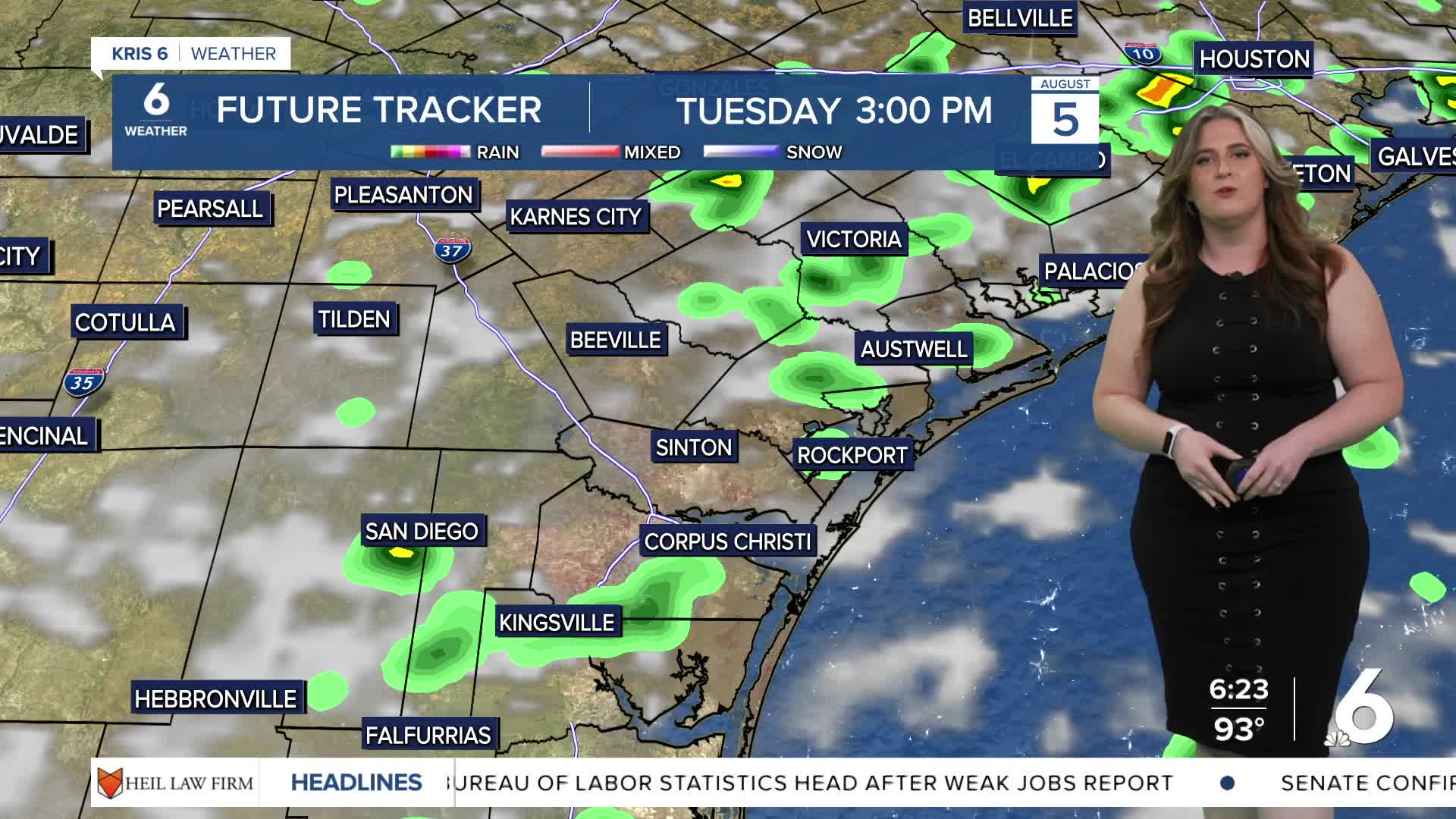
Tuesday provides another chance of t-showers. The early afternoon sea breeze will likely kick-up more shower activity from coastal neighborhoods, moving inland. While the storms will be wider in coverage, no significant rainfall expected, unfortunately. Keep an eye on the radar if you have outdoor plans on Tuesday.
CORPUS CHRISTI FORECAST
Tonight: Increasing clouds, warm
Temperature: Low 76ºF
Winds: SE 10-15 mph
Tuesday: Hot, isolated afternoon t-storms
Temperature: High 96ºF
Winds: ESE 10-20 mph
Tuesday night: Skies clearing
Temperature: Low 76ºF
Winds: ESE 10-15 mph
Have a great week!