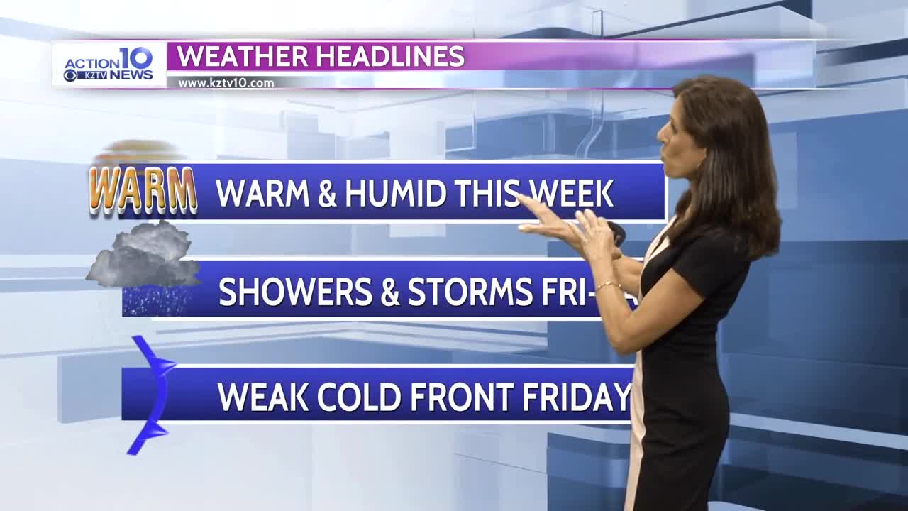


The warm, humid weather pattern continues this week but changes arrive Friday as a weak cold front moves through then stalls over the Gulf of Mexico. Before Friday, it looks mainly dry except for a spot shower chance Tuesday as an upper level wave passes through south Texas. Temperatures will continue to be above average through Thursday with daytime highs reaching the 80s inland and low 70s at the beaches as humidity remains high with the onshore flow. Scattered showers and t-storms are possible Friday afternoon through Saturday as the front moves through and stalls over the Gulf, moving back to the north Sunday as a warm front. Rain chances decrease Sunday into Monday as the warm front moves north and after a brief cooling Saturday, temperatures will climb from Sunday into next week.
Monday Night: Low clouds and fog with lows only in the upper 60s to 70 and southeast winds at 8-15 mph.
Tuesday: Mostly cloudy and humid with a spot shower chance at the coast through noon then inland in the afternoon. Highs will reach the lower 70s at the beaches to the mid to upper 80s inland as southeast winds increase to 15-20 mph in the afternoon.
Wednesday- Thursday: Mostly cloudy and humid with high temperatures in the low to mid 70s at the beaches to the mid to upper 80s inland and southeast winds at 12-25 mph.
Friday: Mostly cloudy with scattered showers and t-storms late in the day with high temperatures in the 70s.
Friday Night: Chance of showers and cooler with lows in the 50s and northeast winds at 12-20 mph.
Saturday: Mostly cloudy with scattered showers and highs in the 60s.