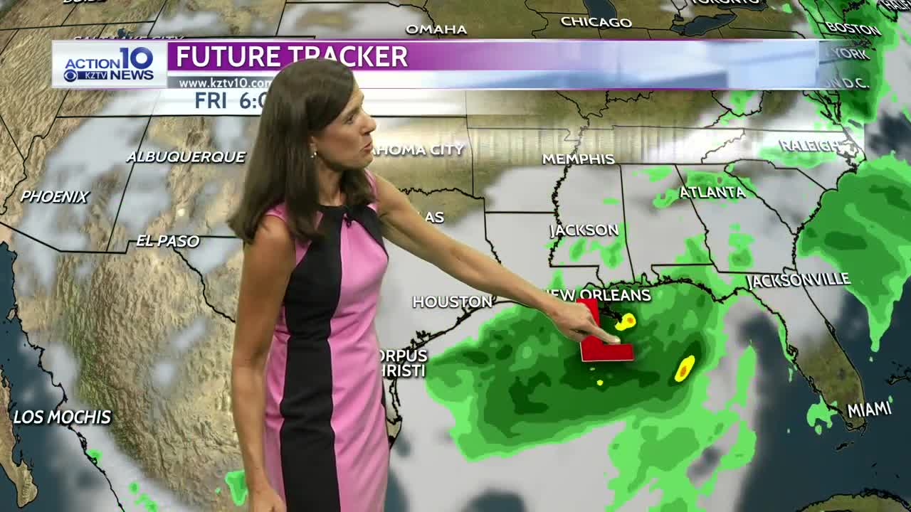


There won't be many changes to our weather as we head into the weekend except for the wind to decrease slightly and temperatures to come up a degree or two. It looks partly cloudy, hot, humid and dry as high pressure aloft builds over Texas, keeping it quiet into next week. Temperatures will come in slightly above normal and the humidity will stay high, producing afternoon heat indices of 103-109 each day. Medium range forecast models are showing an upper level wave developing in the eastern Gulf of Mexico by Friday and drifting to the west. It's still too early to determine if it will make it to south Texas but it's possible we could see rain from it but not until next Friday or next weekend.
Friday night: It looks partly cloudy, warm and muggy with lows in the upper 70s inland to 80 at the beaches and southeast winds at 8-15 mph.
Saturday & Sunday: We'll see partly cloudy mornings and mostly sunny afternoons with high temperatures reaching the mid to upper 90s inland and upper 80s at the beaches with southeast winds at 12-18 mph. There is a moderate rip current risk at the beaches on Saturday with 2-3 foot waves and water temeratures in the mid 80s.
Next week: Temperatures stay hot and above average, reaching the mid to upper 90s inland and upper 80s to near 90 at the beaches. Winds look typical, at around 15 mph each afternoon but slightly higher for Tuesday and Wednesday. The humidity doesn't change much and we'll stay dry through Thursday with only a stray shower or storm possible.