
CORPUS CHRISTI, Tx — Good morning and Happy Tuesday Coastal Bend!!
WHAT YOU NEED TO KNOW
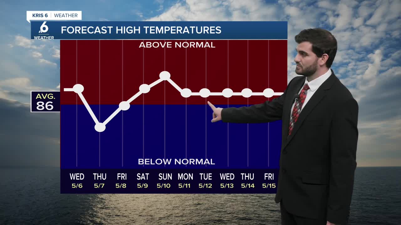
- Warm afternoon in the upper 80s/lower 90s
- Breezy from the southeast around ~20-30mph
- Cold front arrives Thursday bringing rain chances to end the work week
Warming Up
As we head into today we're already starting off warmer in the low to mid 70s for most of us with afternoon highs expected to approach the upper 80s and even mid 90s in some neighborhoods towards Duval county. Tomorrow should bring pretty similar daytime highs and when you combine that with our dew points in the 70s once again you're adding on a humid day too! Hopefully you make sure to stay hydrated with this early season heat as we're kicking off the month of May. Following the late week cold front, we'll warm right back up this weekend so don't forget the heat safety practices if you'll be outdoors!
Cold Front and Rain Chances
By Thursday morning I'm expecting our next cold front to track into the Coastal Bend! This luckily will bring drier air at the surface and a cooler air of course, but also rain chances back into the area! Current expectations are for it to stall just south of us, meaning it will still be in position to act as a lifting mechanism to get some showers and storms going. With us so close to all of the ingredients we could see a few storms try to get stronger out there, but we'll update you when and if that comes together since we're still a couple of days away and the system is a little messy overall. Either way it's looking like a decent drink of ~0.25-0.50" across the area with localized heavier totals under some thunderstorms!

I hope you have a great Tuesday out there!