

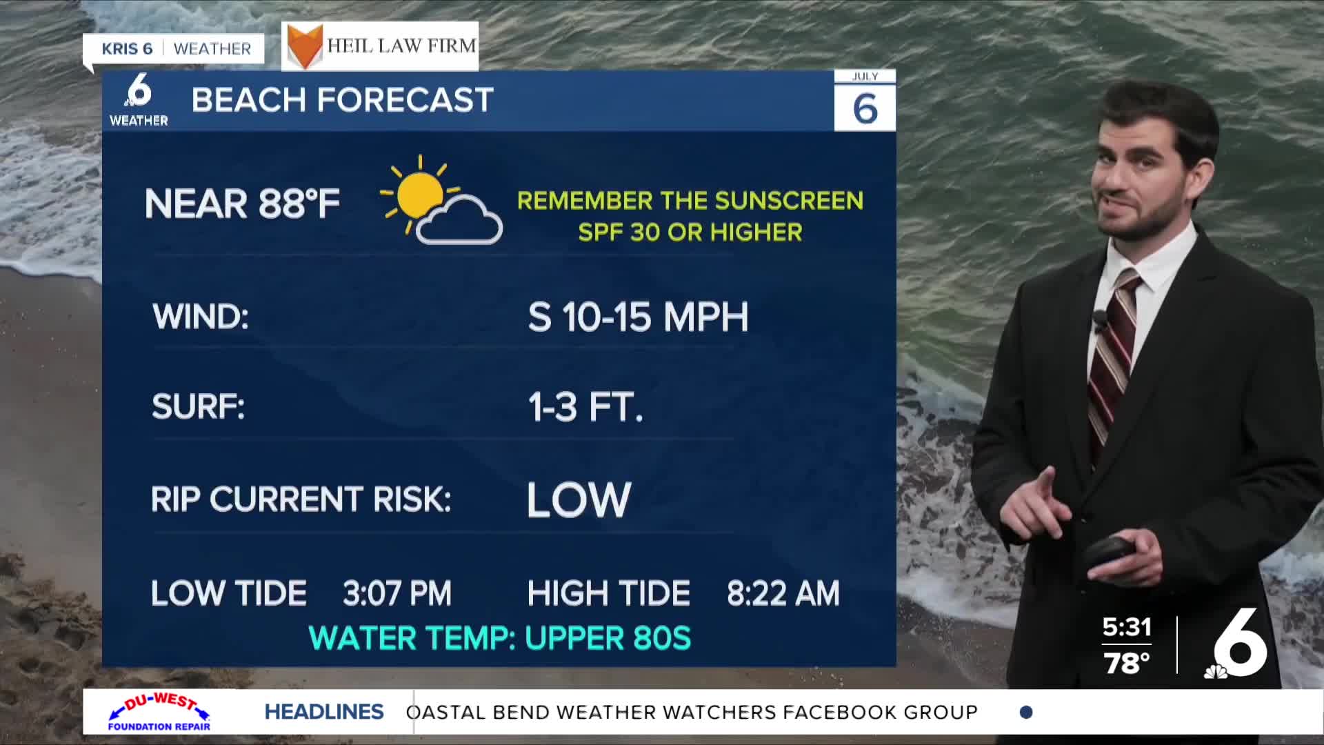

CORPUS CHRISTI, Tx — Good morning and Happy Monday Coastal Bend!
WHAT YOU NEED TO KNOW
- Partly Cloudy skies into the afternoon
- Daytime highs in the low to mid 90s, upper 80s right along the coast
- Spotty showers could increase tomorrow (30%) , but the best rain chances are Friday into Saturday (~50%)
High Pressure Overhead with Plenty of Heat
Starting off the first full week of July we're seeing high pressure overhead continue to keep us warm with daytime highs in the low to mid 90s under plenty of sunshine. Through the rest of the seven day forecast we're expecting daytime highs from 91-93 but "feels like" temperatures will be pushing into the triple digits. Make sure to remember those heat safety practices as we head deeper into astronomical Summer!
Rain Chances on the Rise Later this Week
We have plentiful moisture in the atmosphere, which isn't too abnormal along the Texas coast in July, but with high pressure overhead it's been stifling our rain chances recently. Heading into tomorrow, the latest models are showing an increase in afternoon sea breeze shower coverage across the Coastal Plains around 30-40%. Overall most days this week will still be dry for the majority of us, but this could change this weekend. By Friday into Saturday we'll see a plume of tropical moisture pulsing through the area, while a frontal boundary also works into the Lone Star state. Now it's not set in stone, but the two features are both rain promoting so it will all depend on timing and positioning and look to increase rain chances to a decent ~50% as we head into Friday afternoon through Saturday morning. This could change in terms of timing some, and likely will in terms of intensity so make sure to check back fro updates to the forecast this week!

I hope you have a great Monday and start to the week Coastal Bend!