
CORPUS CHRISTI, Texas — Happy Tuesday!
WHAT YOU NEED TO KNOW
- Heatwave ending
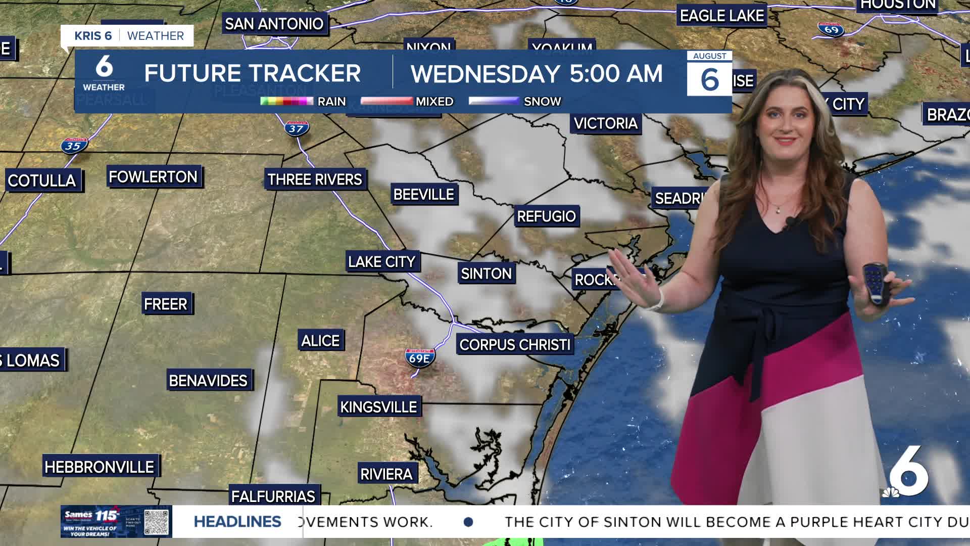
- Isolated t-showers return Wednesday
A hot start to the day once again triggered a round of afternoon sea breeze thunderstorms. Not everyone saw the heavy downpours as they quickly moved inland. Still, a nice cool-down from vicinity storms is welcome during the hottest stretch of the year! That's right, August 5-15 is usually the hottest 10 days of the year in Corpus Christi with our average high temperature of 96ºF. Once we get to the second-half of August, we should be 'over the hump' of summer in South Texas!
Even with the isolated showers expected Wednesday, hot temperatuers and oppressive humidity mean moderate to major heat risk. This is especially true with fewer rain chances for the late-week and upcoming weekend. While temperatures will become near-average by then, this is again the hottest time of year for us. Prolonged heat can be dangerous, even if heat alerts are not issued. Please check on kids, pets, and the elderly. Stay cool!
CORPUS CHRISTI FORECAST
Tonight: Partly cloudy skies
Temperature: Low 76ºF
Winds: Light & variable
Wednesday: AM coastal showers, Sunny, PM storms possible
Temperature: High 94ºF
Winds: SE 10-20 mph
Wednesday night: Clear, warmer
Temperature: Low 78ºF
Winds: SE 5-15 mph
Have a terrific evening!
Have a great week!