

CORPUS CHRISTI, Tx — Good morning and happy Wednesday!
WHAT YOU NEED TO KNOW
- More showers & t-storms
- Hot and humid end to the work week
- Increasing major heat risk Thursday & Friday
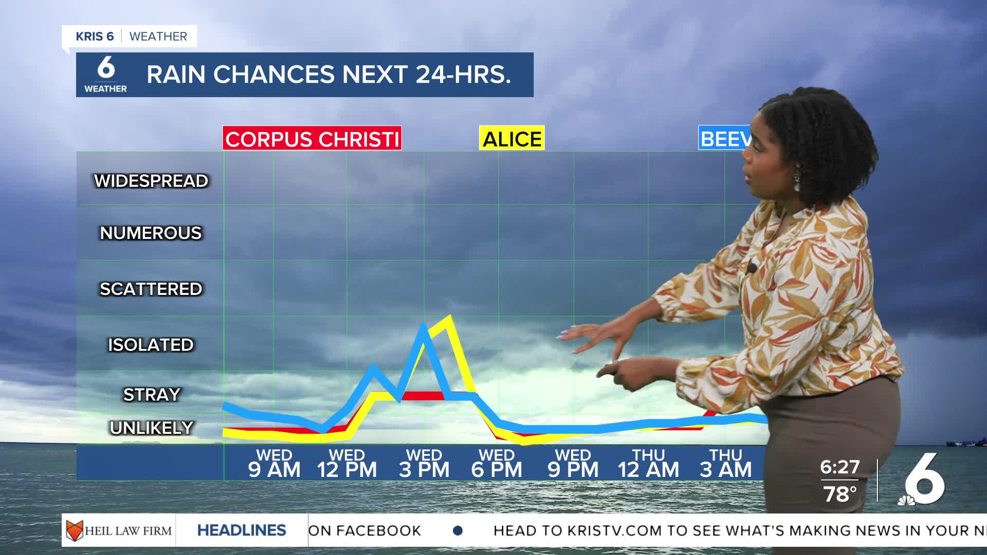
Rain chances remain in the forecast today as lingering moisture and a northern frontal boundary keep us with an unstable weather pattern for now. Temperatures will continue to reach only the low 90s under a mixture of sunny and cloudy skies.
Changes will enter the forecast tomorrow as drier air moves into the area. We'll see a brief return of hot and muggy conditions with temperatures in the mid the upper 90s on Thursday and Friday. Heat risk will increase to the major zone and will cover most inland counties on Friday.
The then retreating frontal boundary with return and potentially push through the Coastal Bend, triggering more rain opportunities for Labor Day Weekend.
CORPUS CHRISTI FORECAST
Today: Sunny and cloudy mix, isolated t-showers
Temperature: High 94ºF
Winds: SE 10-20 mph
Tonight: Mostly cloudy, isolated showers
Temperature: Low 76ºF
Winds: SSE 5-10 mph
Thursday: Hot, dry & humid
Temperature: High 96ºF
Winds: SE 10-15 mph
Have a great day!