
CORPUS CHRISTI, Texas — Happy Monday!
WHAT YOU NEED TO KNOW
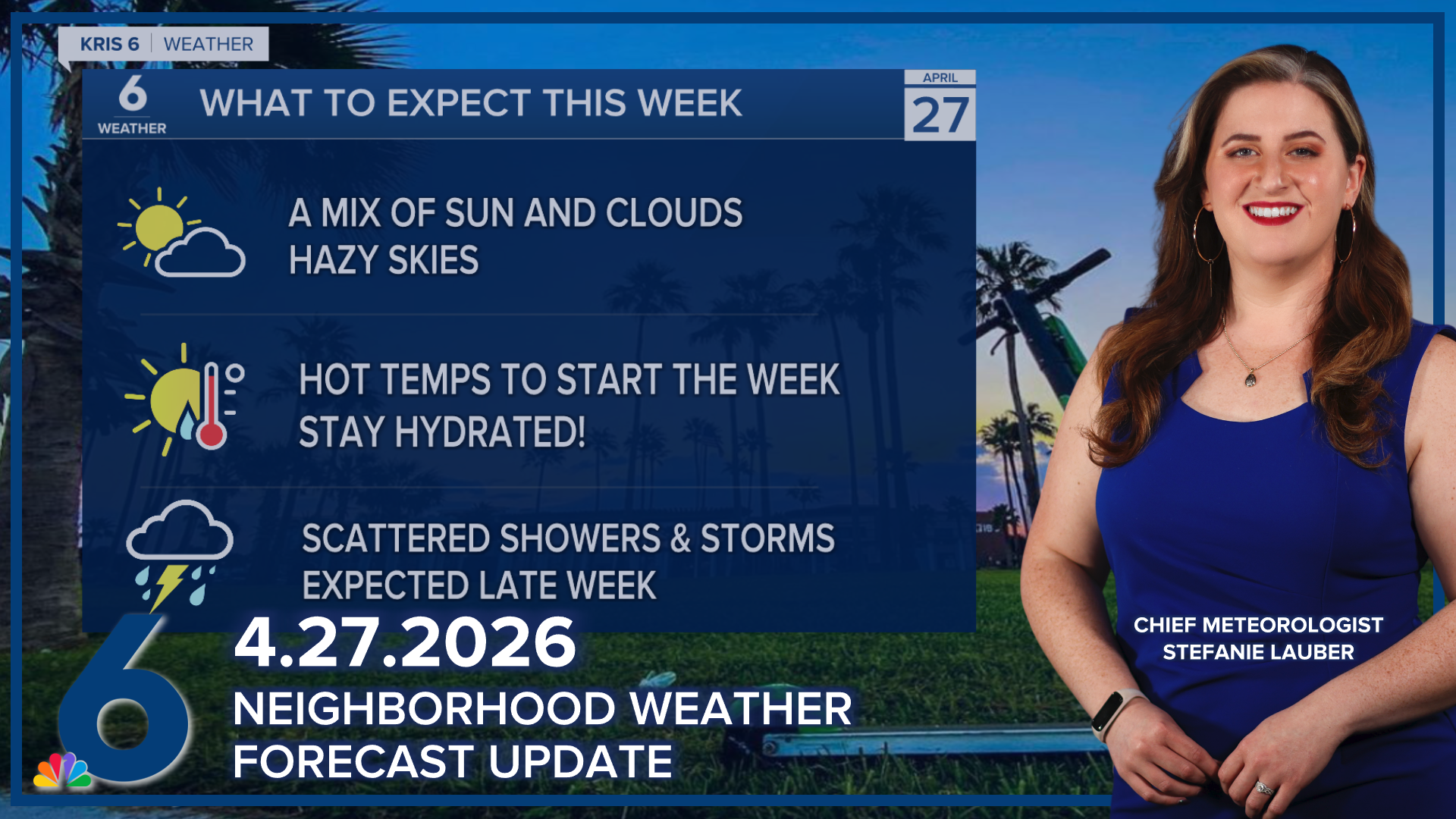
- Moderate to major heat risk through Tuesday
- Tracking a late-week cold front/rainfall
- Strong storms possible on Wednesday
HEAT RISK
Hot, hazy, and humid conditions continue across the Coastal Bend. Expect moderate to major heat risk again on Tuesday across the Coastal Bend. Temps won't cool much overnight, bottoming out in the mid to upper 70s. Tuesday's afternoon return to the upper 80s and lower 90s across our Coastal Bend neighborhoods, and 'feels like' temps will be even hotter. Please be sure to stay hydrated! Skies will be hazy again with all of the humidity; this poses an air quality concern for some sensitive groups!
OUR NEXT COLD FRONT
A cold front will be making its way to South Texas later in the week. The timing of this cold front will be a bit tricky, so please continue to check back on the forecast as details become clearer. Expect widely scattered showers and storms that could impact our inland neighborhoods as early as Wednesday afternoon and last through early Saturday. I'll keep a close eye on this front and the rain expected along with it.
