

CORPUS CHRISTI, Tx — Hello, Coastal Bend! We have a hot, dry start to the week with rain chances entering the forecast by Tuesday into late week.
WHAT YOU NEED TO KNOW
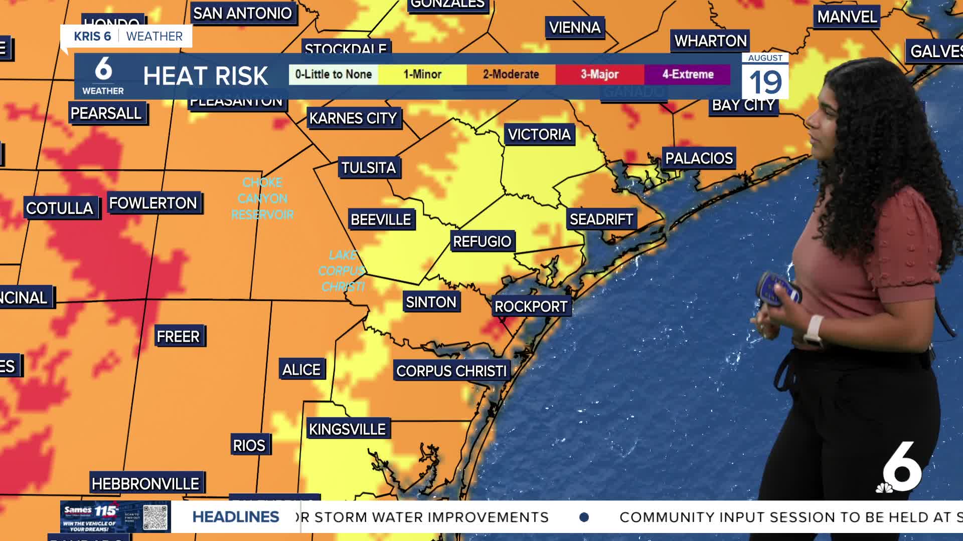
Temperatures will be in the upper 90s the first half of the week in Corpus Christi followed by a slight relief in heat towards the end of the week headed into the weekend.
Pass and go showers will be in the forecast, promoted by the sea breeze. Until we get a break in heat, feels-like temperatures will be upward of 110ºF throughout our afternoons. We will need to practice heat safety through Wednesday until temperatures are slightly below normal.
We are also keeping an eye on the tropics for any potential development. The National Hurricane Center is monitoring a tropical wave in the central Atlantic moving west with a medium chance of development (60%) in the next 7 days. Hurricane Erin is still a Category 4 at this time, expected to weaken further into the week and turn north and northeast away from the eastern coast.
CORPUS CHRISTI FORECAST
Tonight: Mostly clear skies, light winds
Temperature: Low 79ºF
Winds: SE 5-10 mph
Tuesday: Mostly sunny with a chance of afternoon showers
Temperature: High 98ºF
Winds: E 5-10 mph
Tuesday night: Partly cloudy with a chance of showers
Temperature: Low 78ºF
Winds: ESE 5-10 mph
Have a great Monday!